Homer to Haines
Mile 6680 to 8100
June 6th to June 27th
Day 70 to Day 91
Monday June 6th
Last day in Homer, WP#1. We take a drive east of town till the road turns to dirt. Far enough. From there it is back to the Spit CG, pick up the trailer & head to Deep Creek State Park CG for a couple days of eagle spotting.
Homer Spit at low tide. CG at bottom right
Excentric art on Homer Spit
A disturbed mind must have created this
Tuesday, Wednesday, June 7th & 8th: Deep Creek SP, Ninilchick WP#2. Mile 6720
We have been here before. There area has bald eagles like Bermuda has starlings. They are here for the food & the easy food is fishracks from the charter fishing boats which launch off the beach. The weather could have been nicer. It was a bit windy & cool both days. It is tough to remember that this is JUNE!
Look who is boss of the fishrack pile
A jeuvenile that almost has its adult feathers
Deep Creek SP CG
Ronnie, Pat, Len & Carolyn enjoy a balmy Deep Creek evening
They let you get awful close
Final approach: An adult & juevenile
Cruising by
Typical beach launched charter fishing boat
Thursday, Friday, Saturday, June 9th, 10th, 11th.
Seward, WP3, Mile 6855
The CG area in Seward used to be the industrial waterfront until Good Friday 1963, the day of the Alaska earthquake which was bigger than the recent Japanese one. The town must figure RVers are expendable so a mile or so of waterfront is a park now. Fantastic view from all sites. the main purpose of the Seward visit is a glacier cruise & visit to the aquarium.
Main Street Seward
The view from the Seward municipal RV park
Just for the scale of things, the ship is a Celebrity Lines 'panamax' sized ship, i.e. as big as seen at Dockyard
A pod of orcas
Hauled up to die
Typical Alaskan fishing headboat
This owner hopes the next tsunami won't reach him
No port visit is complete without a boatyard crawl
Sunday June 12th, day 76
Seward to Wassila. Mile 7025, WP#4
There is nothing special about Wassila. Don't care what Sara Palin says, you can't see Russia from there. It is an 'intersection' town. It has a Walmart, Lowes, big supermarket, gas stations & not much else. Perfect place to stop for one night to resupply before another week of being away from major stores.
Near Seward
Monday June 13th, 14th. Day 74, 75
Talkeetna, Mile 7100, WP5
Talkeetna is a quirky little town which the TV show Northern Exposure was inspired by. The place is all about tourism these days. There are cruise line owned hotels in the area. The airfield is used as a base for those climbing Mt Denali. It is also used by those of us who want to see the mountain from the comfort of a plane seat.
Talkeetna limo
Alaskan state birds. bush planes
Carolyn just luuves small planes. Having fun yet?
Wednesday, Thursday, Friday. June 15th, 16th, 17th
Denali National Park, Teklanika CG.
Denali NP is the highlight of just about everyone's visit to Alaska. Trouble is only 30% actually get to see the mountain because clouds cloak it most of the time. The Teklanika CG is almost 30 miles INSIDE the park from the front gate. 20 of those miles are dirt road. We drove those 20 miles in rain. What a mess the truck & trailer were! The next day the weather was better, but not clear. The 20,000' mountain could not be seen. This is why we did a multiday visit staying at the CG well inside the park. Most people only have one day & the round trip from the front gate welcome center takes an entire day on school buses. Not a nice ride at all.
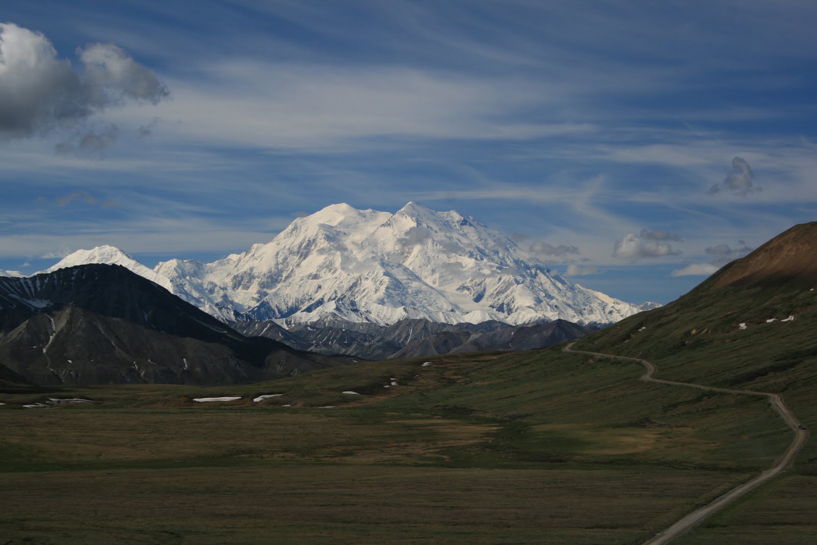
For our second day it was back on a bus & out on the same road, the only road, that we were on before. This time we got lucky. No clouds around the mountain. At least not in the morning.
FANTASTIC!
Oh what a mess!
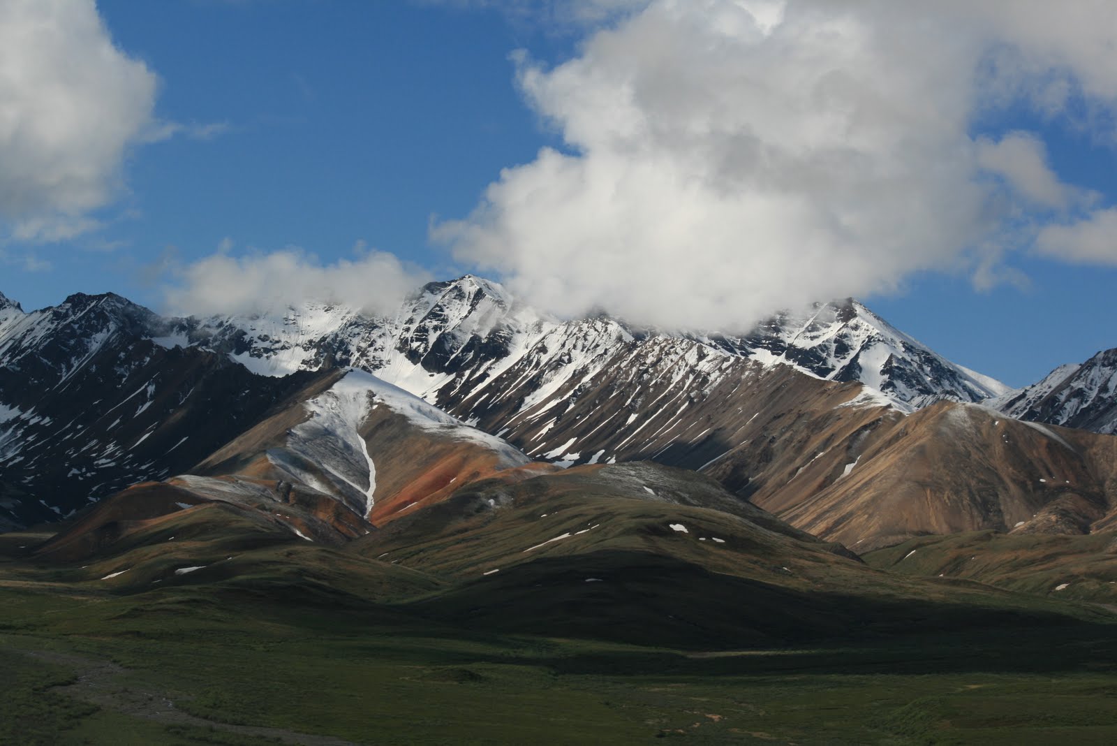
Fresh snow in June
Ptarmigan
Part of the road into Denali. No guardrails
Part of the 100 strong bus fleet
A Denali resident
Park road
Mt Denali. Also known as Mt Mckinley in its glory from 30 miles away
Quilt at the visitor center
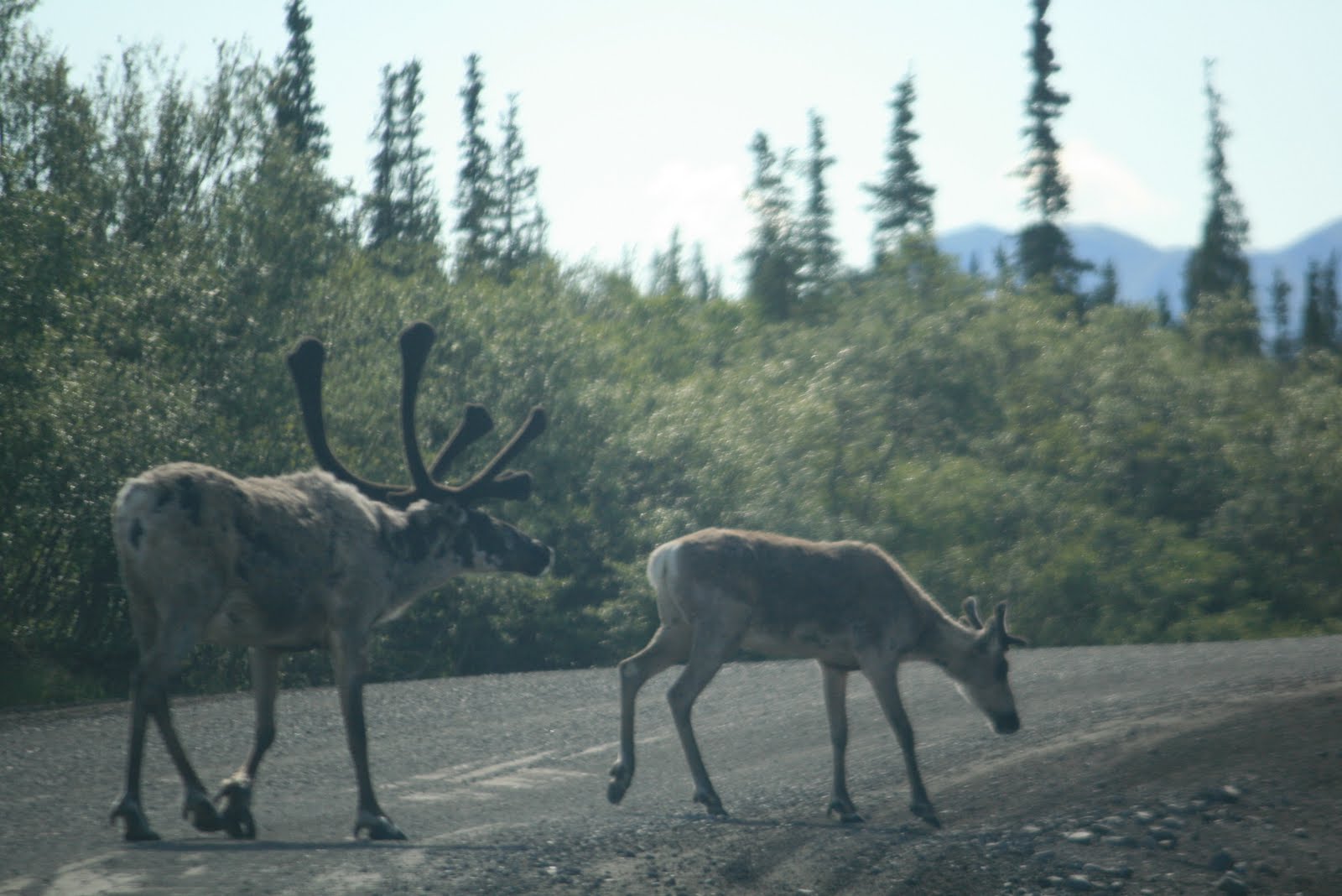
Look what stepped in front of us while on our way out of Denali
Saturday, Sunday, June 18th, 19th
Fairbanks, Mile 7422, Day 82,83
Fairbanks was basically another supply stop but we happened to be there for the summer solstice celebrations. About this time of year the sun does not set till well after midnight & is above the horizon again less than 2 hours after that. Of course late December the opposite happens. It is all a big deal to these residents. We attended the street festival which covered an area of streets at least 5 times that of Bermudas Harbour Nights. What really struck us was the lack of trash on the road & the lack of police presence. Only four LEOs walking around. Had to be 5000 people attending.
Fairbanks is the last place to expect a great auto museum
Monday June 20th
Quartz Lake State Park, Mile 7510, Day 85
Another repeat for us from the first trip only this time the lake is not still frozen.
Quartz Lake
Alaska pipeline at Quartz Lake
June 22nd, day 85
Tok, Mile 7630
Tok is another highway stop not much else. We take advantage of a free wash with fill up & spend over an hour washing the Denali muck off of truck & trailer. Amazing how much better we feel after the outside of our home is clean. Tok is last chance to resupply before heading back into Canada where everything is much more expensive.
June 23rd, day 86
Snag Lake Provincial Park, Yukon
To drive to Haines, Alaska you have to drive through Canada. The only other ways are to charter a plane or use the ferry. For us it is a two day trip.
Snag Lake at midnight
Snag Lake at 1:00AM
June 24th, Day 88
Million Dollar Falls Provincial Park, BC, Mile 7950
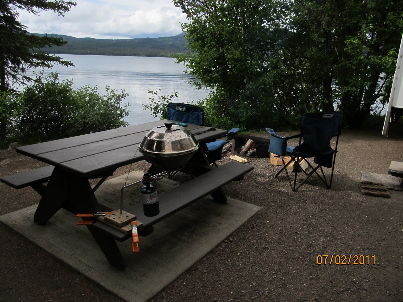
Another great PP with nobody else in it when we arrived though a rental RV showed up later & took a spot nearby. We think he was worried about bears. There were warning signs all over.
On the way to Haines
June 24th, 25th, 26th, 27th, Day 89-92
Haines, Mile 8090
Never been to Haines before & did not know what to expect. Haines is up the same fjord as Skagway, where all the cruise ships go, but itself only gets one ship one day a week. We stayed about 10 miles from town up another fjord at a very scenic state park for $10 PN & spent a few days exploring the town & area.
Near Haines
Alaska marine highway ferry at Haines
Haines small boat harbour
Something familiar found in the harbour. It works for its owner too
Rain Forest